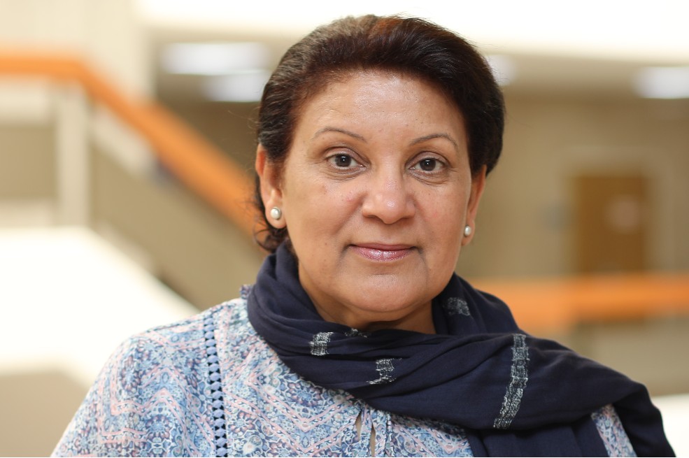
Dr. Sabah Salah Al-Junaid
Associate Professor of GIS and Environment
|
sabah@agu.edu.bh
|
|
| Curriculum Vitae | Download |
| Google Scholar |
Go To Page
|
Dr. Aljenaid is an Associate Professor of GIS and Environment at the AGU, with over thirty years of professional teaching and research experience in GIS, remote sensing, and climate change. Aljenaid's research interests include vulnerability assessments and adaptation to the impacts of CC, SLR effects on the coastal zone. Moreover, Aljenaid is involved in intensive research facilitation, utilizing GISs in mapping and modeling LULC changes, suitability-sensitivity analysis, and disaster risk reduction. Also, the application of remote sensing indices to map and predict changes in land and marine resources. Since 2000, Aljenaid has worked as a technical facilitator in preparing the National Communications of CC for Bahrain, Kuwait, Oman, Iraq, and Qatar, in collaboration with the UNEP-UNDP West Asia, under the UNFCCC. Aljenaid is a member of “Arab Integrated Water Resources Management Network- AWARENET”, and a member of UNSIDR, Arab-STAG, and the Disaster Risk Reduction group. Recently (2021), Aljenaid joined the ECO-System-based Disaster Risk Reduction and Climate Change Adaptation group (ECO_DRR/CCA) for the MENA region. Aljenaid joined the Geographical Society of the GCC in 2023.
- Doctor of Philosophy (PhD) in Environment & Technology, University of Alexandria.
- GIS & remote sensing applications in terrestrial and marine resources degradation
- Terrestrial and marine resources carbon sequestration & storage
- Geospatial applications in DRR
- M Alkhuzaei, S Aljenaid, G Mohamed (2025). Systematic Review: The Ecology and Cultural Significance of Oysters in the Arabian Gulf. Diversity 17 (8), 565.
- G Kadhem, S Aljenaid, H Naser (2025). Rising Temperatures and Potential Effects on Human Health in the Kingdom of Bahrain: A Call for Action. Earth 6 (3), 65.
- SS Aljenaid, GR Kadhem, MF AlKhuzaei, JB Alam (2022). Detecting and assessing the spatio-temporal land use land cover changes of Bahrain Island during 1986–2020 using remote sensing and GIS Earth Systems and Environment 6 (4), 787-802.
- S Aljenaid, M Abido, GK Redha, M AlKhuzaei, Y Marsan, AQ Khamis, ... (2022). Assessing the spatiotemporal changes, associated carbon stock, and potential emissions of mangroves in Bahrain using GIS and remote sensing data. Regional Studies in Marine Science 52, 10228
- AO El-Kholei, SS Aljenaid, GM Kadhem (). Urban transformations and contested spaces in the Kingdom of Bahrain. Open House International 44 (4), 55-63.
